Remote sensing technique captures details of Hurricane Ian’s aftermath
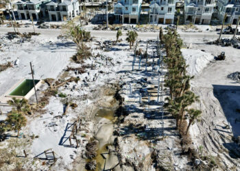
FAU researchers used aerial imagery data and LiDAR to identify the hardest-hit areas of Southwest Florida’s Estero Island.
FAU researchers used aerial imagery data and LiDAR to identify the hardest-hit areas of Southwest Florida’s Estero Island.