How satellites can help us find and clean up methane super-polluters
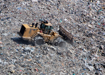
Okeechobee and Orlando landfills are among those with the largest methane emissions, according to Carbon Mapper.
Okeechobee and Orlando landfills are among those with the largest methane emissions, according to Carbon Mapper.
Our global study found that areas where industrial fishing is banned are largely succeeding at preventing poaching.
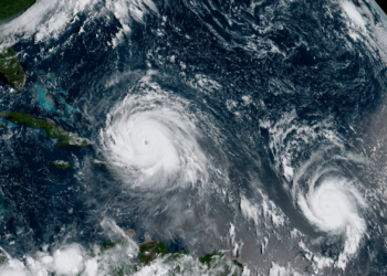
Antarctic sea ice is vital for the world’s climate and ecosystems.
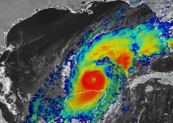
The loss of satellite data, along with other cuts to data, funding and staffing, could put lives at risk.
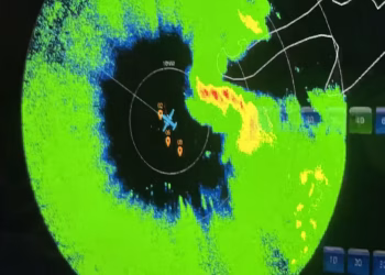
Cuts in staffing and threats to funding at NOAA are diminishing operations that forecasters rely on.

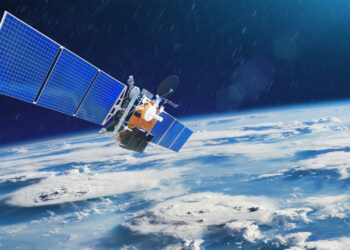
By 2030, the global satellite population is expected to exceed 60,000.
NOAA is taxpayer funded, providing safety and security for everyone – not just those who can pay for it.
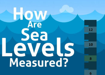
This bite-sized video describes how satellites and tide gauges are used to measure sea levels.
University of Miami scientist Julius Dewald believes his research using satellite images to fight climate change holds great potential.