Embracing Florida for Earth Day: VoLo works to promote effective action on climate change
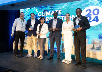
VoLo Foundation's annual event, the Climate Correction conference, is a testament to what we think and do.
VoLo Foundation's annual event, the Climate Correction conference, is a testament to what we think and do.
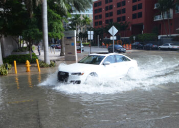
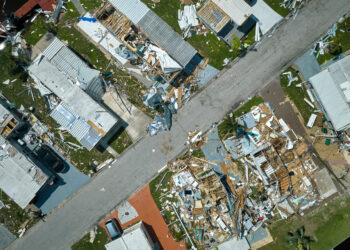
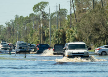
Water crises can be caused by either too much or too little water, challenging infrastructure in unexpected ways.
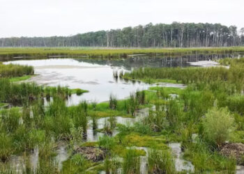
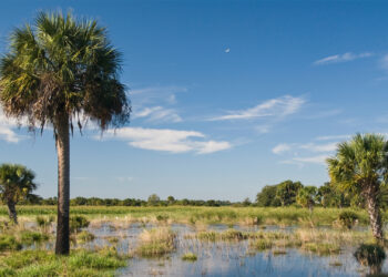
Sea-level rise means portions of today’s coastal wetlands will be lost to the ocean in the years and decades to ...
The study will create a network of monitoring wells to determine the impact of saltwater on the foundations of these ...

Legislation awaiting the governor's signature would only steer Florida toward keeping its reliance on fossil fuels.
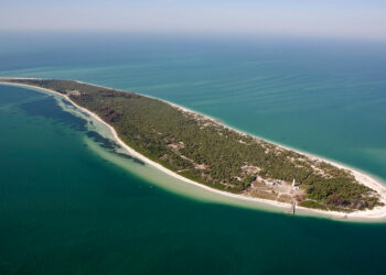
The ongoing disappearance of the land at Egmont Key persists at a staggering rate of 4 acres per year due ...
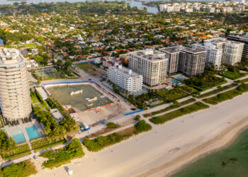
Almost a quarter of Florida's land may be at greater risk of pollution or development, an Environmental Defense Fund analysis ...
Building in less vulnerable locations and constructing stronger structures can mitigate damage and lessen insurance increases.
Our own individual actions will make a difference but more is needed from large generators of greenhouse gases.
Nearly 1,000 pieces were published on the site in the first year under FAU Center for Environmental Studies management.
The Invading Sea is a nonpartisan source for news, commentary and educational content about climate change and other environmental issues affecting Florida. The site is managed by Florida Atlantic University’s Center for Environmental Studies in the Charles E. Schmidt College of Science.