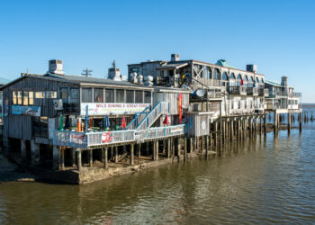
Resilient Cedar Key releases interactive flood risk tool; Florida lawmakers poised to block fertilizer restrictions
The interactive maps show flood risks for sea level rise as well as storm or tide events.
The interactive maps show flood risks for sea level rise as well as storm or tide events.

Experts are still figuring out what exactly is behind the spike, but there is wide consensus that both El Niño ...

The project uses the North Beach Village neighborhood to show the urban design changes needed to live with rising sea ...

Oceana fears that a disaster similar to the BP Deepwater Horizon oil spill may happen in the future.
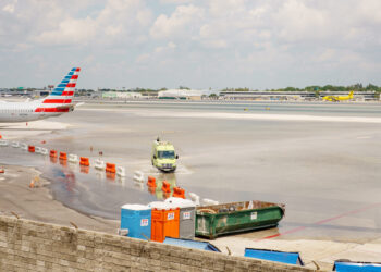
Airlines, seaport managers and others have have already committed to spend millions of dollars to protect against storm surge, king ...

The planning director of 1000 Friends of Florida said one piece of legislation embodied the death knell to growth management ...
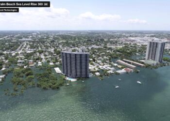
A virtual reality simulation shows the devastation that a major hurricane, combined with sea-level rise, would have on Osprey Park ...

A new study concluded that in 50 years, the Cape Sable seaside sparrow could disappear from coastal nesting grounds.
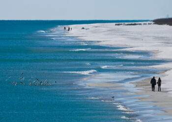
Up-to-the-minute sea-level rise data shows water levels in the Gulf are rising at a rate faster than nearly anywhere else ...

A Senate committee passed legislation that would open up funding for studies and grants on sea-level rise.